
Guadalupe County Neighbors Block Sources
One official source answers each part of a Guadalupe County neighbor question. The appraisal search connects an address to a parcel and owner. GIS gives the parcel’s outline and nearby context. ROAM can add recorded instruments and plats. The voter tool is an individual exact-match check, not a block browser. Association certificates can identify a community contact route, while local-history collections can add older context. None of these sources is a complete list of everyone at an address.
| Source | What it shows about a block | Access |
|---|---|---|
| GAD property search | Matching parcels, owner, situs and mailing addresses, values, exemptions | Free web search and CSV export |
| County and GAD GIS | Parcel boundaries, adjacent parcels, aerial, flood, zoning, and district context | Map and open-data resources |
| County Clerk ROAM | Recorded owners, plats, liens, and subdivision instruments | Public index, pre-1970 route, and copy requests |
| Voter lookup or file request | One registration match or a statutory record request | Exact web lookup; protected fields restricted |
| HOA certificates | Association name, management or contact route, and subdivision context | State certificate search; no member roster |
| Library directories and maps | Historic occupants, building, or neighborhood context | Local History Room and microfilm |
The owner listed for a parcel may receive tax mail elsewhere. The situs address is where the parcel lies, while the mailing address is where notices go. Keep those fields separate. The difference is often useful for a record request but cannot establish present occupancy.
Map Guadalupe County Neighbors Parcels
Use the address-to-parcel sequence to build a small, documented block set. It works around cul-de-sacs, corner lots, alleys, common areas, drainage tracts, and rights-of-way that can make a simple street-number list misleading. The exact public GIS toolbar labels for buffer, measure, or selection were not verified in the research. The documented method is to open a parcel, inspect its adjoining polygons, and open their property details one at a time.
- Search the target address or geographic ID in GAD and capture the parcel’s owner, situs, mailing address, legal description, and property ID.
- Open the parcel map, identify lots that share a boundary or face the same block, and record each adjoining geographic ID.
- Open the adjoining parcel details and keep owner, situs, and mailing fields in separate columns.
- Compare an unusual result with a plat or ROAM instrument, then use the correct clerk route for an official copy.
The Guadalupe Appraisal District property search supplies the starting parcel record for a Guadalupe County neighbors search.
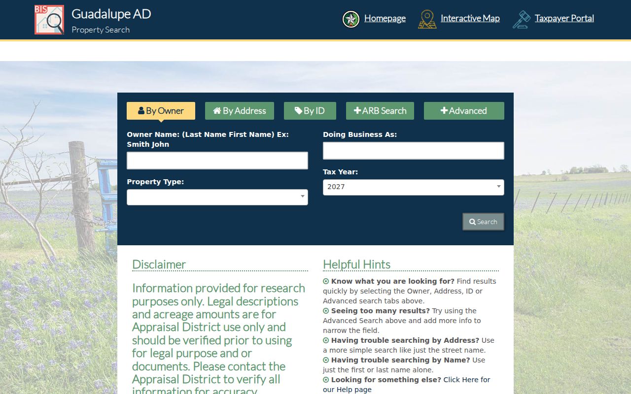
Use a street-name search for a wider set, then sort the resulting parcels by number, subdivision, geographic ID, and mailing city. A property entry documents ownership or appraisal facts, not every household member.
Guadalupe County Neighbors GIS Context
The County GIS landing page links GIS and open-data resources, and the map reached from property detail connects parcel information with map context. GAD’s mass-appraisal documentation identifies parcel boundaries, dated aerial photography, zoning information, and FEMA flood-hazard layers. These layers show the setting around a parcel. They are not a boundary survey, a title opinion, or evidence that an owner lives on the site.
The Guadalupe County GIS page is the county source for the map and GIS contact information.
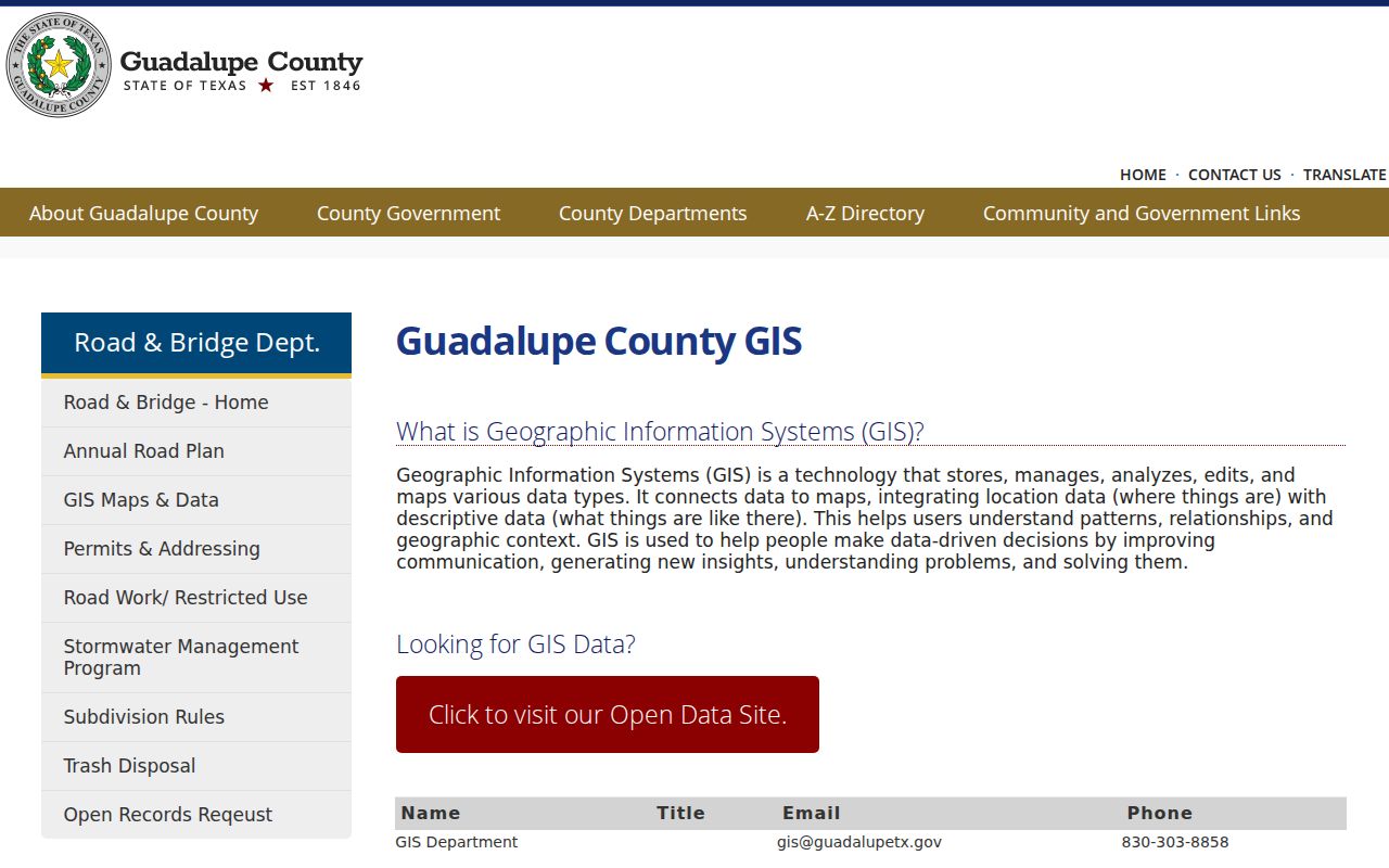
Turn on parcel, aerial, flood, zoning, or district context only when the available layer supports the question. Personal property, mineral property, and some mobile-home property may not appear on the map. A blank location does not mean no record exists, so call GAD when a mapped result is unclear.
Note: At a subdivision edge or street bend, parcel shape and legal description are more dependable than a postal city label.
Guadalupe County Neighbor Parcel Tip
INSIDER TIP: GAD advertises CSV download and email controls for search results. For a lawful block-level research set, save the export date, street query, tax year, property IDs, and geographic IDs. That preserves the source trail when a later appraisal update changes a displayed value or owner mailing field. The district cautions that current-year data can show N/A before the roll is certified.
Use the export as a research convenience, not as a certified legal roll. If an owner or legal description matters, confirm it through the County Clerk’s official-record route and request the appropriate copy. A recorded instrument can also show whether a parcel was split, replatted, or transferred under a different name.
Guadalupe County Neighbors Association Contacts
Texas management certificates provide a public community layer for a Guadalupe County neighbors search. They can identify an association and management or contact route for a subdivision, but they do not publish a member list. The state certificate search can filter by county, city, ZIP, or association. Ask the association directly for a lawful contact route instead of assuming a certificate identifies every resident.
| Association or POA | City and ZIP shown | Contact information available |
|---|---|---|
| Oak Creek Property Owners Association, Inc. | Seguin 78155 | Management certificate contact route |
| Stetson Ridge Residential Community, Inc. | Marion 78124 | Management certificate contact route |
| The Woods of St Clare | Marion 78124 | Management certificate contact route |
| Stream Waters | Seguin 78155 | Management certificate contact route |
| Ridgemont and Deer Crest associations | New Braunfels 78130 | Management certificate contact route |
| Springtree and Mesa Western associations | Cibolo 78108 | Management certificate contact route |
The Texas HOA management-certificate search for Guadalupe County is the official directory route. It can help identify the correct community contact, but it does not establish who belongs to the association or lives at a particular parcel.
Guadalupe County Neighbors Voter Limits
Guadalupe County’s voter tool cannot browse a block by street. It requires first name, last name, and date of birth for one person. A written voter-file request has a different process and may involve statutory redactions, a cost estimate for manipulation, and rules about the requested fields. The individual screen should never be described as a neighborhood roster.
Texas Election Code §13.004 restricts ordinary web posting of telephone numbers, Social Security numbers, driver-license or personal-ID numbers, and dates of birth. Protected voter and Address Confidentiality Program records can also have address-related information restricted. A result that omits an address may reflect a deliberate protection, not a failed search.
Guadalupe County Neighbors Fraud Alert
A change in a nearby parcel’s recorded documents can be worth monitoring, especially for a property owner checking a deed trail. The County Clerk’s Recording Notification Service sends a free email alert when a document is indexed under a monitored name. It is not ownership protection and it does not prevent a recording. It is an early notice that prompts the owner to inspect ROAM and contact the Clerk when needed.
The Guadalupe County Recording Notification Service provides the official enrollment screen.
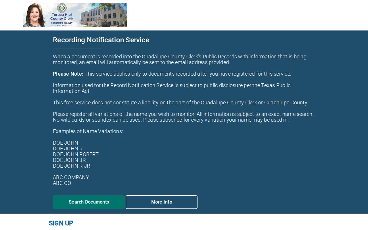
For an unexpected filing, compare the document number, mailing address, and legal description through ROAM, then use the County Clerk’s official copy route. Avoid paid notices or urgent messages that tell you to rely on a caller’s contact information.
Guadalupe County Neighbor Tool Myth
MYTH: a commercial neighbor tool is as reliable as the county records. Commercial aggregation tools can combine old directories, property data, voter material, and marketing records. They can mix people with the same name, carry stale addresses, charge for reports, and vary in how quickly an error is corrected. Use them only as a reason to verify a claim with a custodian, never as the answer.
| Official record route | Commercial neighbor-tool category |
|---|---|
| Identifies the keeper, record date, and source-specific limits. | May compile sources with different update dates and unclear matching. |
| Offers a specific copy, counter, email, or request path when documented. | May present a summary without the underlying custodian record. |
| Allows a correction request to the agency that maintains the record. | May have separate removal and correction procedures. |
The most dependable neighbor research stays with GAD, GIS, ROAM, the relevant municipal office, and an association’s own contact route. That keeps a parcel result tied to the source that can explain it.
Guadalupe County Neighbors Community Layer
Public boards and civic groups can add a limited community layer without turning a parcel search into a roster. Seguin publishes boards, commissions, Main Street, library advisory, and Neighborhood Block Party information. Local history collections at the Seguin Public Library Local History Room hold newspapers, yearbooks, Sanborn maps, family histories, and photographs that can clarify a block’s past. Public meeting participants and association contacts are not proof of who lives on a street today.
For a historic address trail, use directories and maps with the date printed on the source. For a current physical record, return to the parcel map and the agency that keeps the record.
Guadalupe County Neighbor Privacy Limits
Property and deed records do not name every person at an address. Household members, guests, utility customers, motor-vehicle information, and delivery records are not public neighbor rolls. A mailing address can belong to a post-office box, a professional office, or another location. Court, juvenile, mental-health, adoption, sealed, and expunged material may also be unavailable. Respect a protected address and do not treat an omission as a reason to search around it.
Texas privacy protections and the county’s record procedures are designed to preserve the lawful public record without exposing every private detail. Ask a custodian for a defined existing record when there is a legitimate need, and correct an appraisal, election, or recorded-document error with the office that maintains it.
Lawful use. Use Guadalupe County neighbor information for personal, lawful research and community contact. Never use a parcel, map, record, or contact route to stalk, harass, threaten, or harm another person.
Note: A public owner name is not a license to monitor a person or infer everyone who may be at the property.