
Search Guadalupe County Streets by Address
A useful street-by-street search begins with a standardized delivery address, then checks whether the property sits in a municipality or an unincorporated area. Guadalupe Appraisal District, often called GAD, is the practical first stop because its property card ties an address to a parcel, owner name, mailing address, legal description, and identifiers. The map and deed trail answer different questions. A GIS view places the parcel among nearby lots, while recorded instruments supply dated ownership and plat history. Treat the pieces as corroboration, not as a list of everyone at an address.
- Enter the whole address in Guadalupe AD Property Search. If it misses, simplify the entry or search the street name alone.
- Save the property ID, geographic ID, situs address, legal description, owner name, and tax year from the matching parcel card.
- Use the county GIS resources to identify the parcel boundary and adjoining lots, then open each parcel separately.
- Search the owner and prior parties in the County Clerk's ROAM official-record index, following the legal description and recording details.
- For an old address, inspect a relevant reverse directory at the Seguin library. The voter tool is an individual match, not a street browser.
This order keeps the address, parcel, and document identifiers connected. It also makes a later counter or copy request precise when an online result is incomplete.
Read a Guadalupe County Parcel
One parcel can carry three address concepts. The situs address is the physical place where it sits. The owner mailing address is where appraisal and tax notices go, and it may be a post office box, business office, another home, or an address outside the county. The legal description identifies land through a lot and block, abstract, or metes-and-bounds description. It is the better continuity key when a road changes, a subdivision is replatted, or an old rural route becomes a 911 address.
- Parcel
- A defined piece of real property carried in the appraisal system, usually with a property ID and geographic ID.
- Situs address
- The physical location of a parcel, not proof of the owner's current residence.
- Plat
- A recorded map of lots, blocks, streets, easements, or a subdivision that can explain a legal-description change.
- Criss-cross directory
- A reverse directory arranged by address. It may show a historic occupant only for the edition that contains the address.
GAD also displays values, acreage, exemption or protest indicators, a map or sketch, and taxing units when applicable. A homestead indicator can support an owner-occupancy inference, but it is not certainty and does not identify a household. A street directory result supports a narrower conclusion: a named owner is associated with the parcel record for its stated tax year.
Search a Street in Guadalupe AD
GAD's By Address search accepts a street number and street name. Its most important local formatting rule is easy to miss: enter the street name without a prefix, suffix, or unit number. A directional street, road, street, or apartment identifier can fail when extra parts appear in the Street Name field. Start with the whole address. If no result appears, simplify to the street name, then use the separate number field and advanced filters to narrow the result set.
| Guadalupe AD field | Input type | Street-search use | Format or limit |
|---|---|---|---|
| Owner Name | Text | Checks an owner found by address | Last name first; try one name if needed |
| Street Number | Text | Narrows a matching road | Separate from Street Name |
| Street Name | Text | Finds parcels along a road | No prefix, suffix, or unit number |
| Property ID | Text | Returns to one exact parcel | Fastest key; appears on tax bill or notice |
| Geographic ID | Text | Connects the card to map work | Appraisal/GIS identifier |
| Subdivision / Condo | Type-ahead list | Separates repeated street names | Select from the available list |
| Neighborhood | Type-ahead list | Groups nearby parcels | Select from the available list |
| Tax Year | Dropdown | Checks the year on the record | Current data can show N/A before certification |
The official GAD search screen shows the address, owner, and advanced routes used for this work.
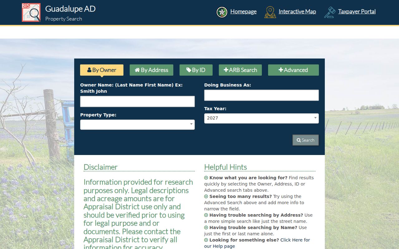
Use a property ID or geographic ID to reopen the same card after a broad street search. That is more reliable than reproducing a long address entry.
The district's official search-help page documents whole-address and simplification tips, plus CSV download and email controls.
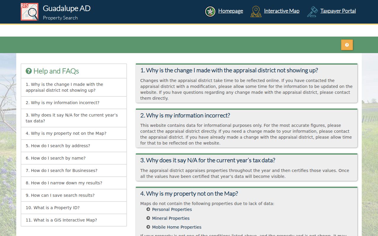
For a long road, export can preserve the parcel set for sorting by number, subdivision, property ID, and mailing city. It is not a certified roll.
Walk a Guadalupe County Block in GIS
The county defines GIS as linked location and descriptive data, and the appraisal map places parcel and deed information over aerial context. Open the property map, identify the parcel boundary, and inspect adjoining polygons. Record each adjoining geographic ID before returning to GAD for its separate card. At a street bend or subdivision edge, parcel shape and the county city-limits material are better evidence than a postal city label.
The documented layers include boundaries, dated aerial photography, applicable zoning information, and FEMA flood-hazard zones. They give land context, not proof that a person lives there. Personal property, mineral property, and mobile-home property can be absent from the map, so a blank spot does not mean GAD has no related record. The research did not verify precise public toolbar controls, so no radius or buffer search is promised here.
The Guadalupe County GIS page is the official starting point for county GIS and open-data resources.
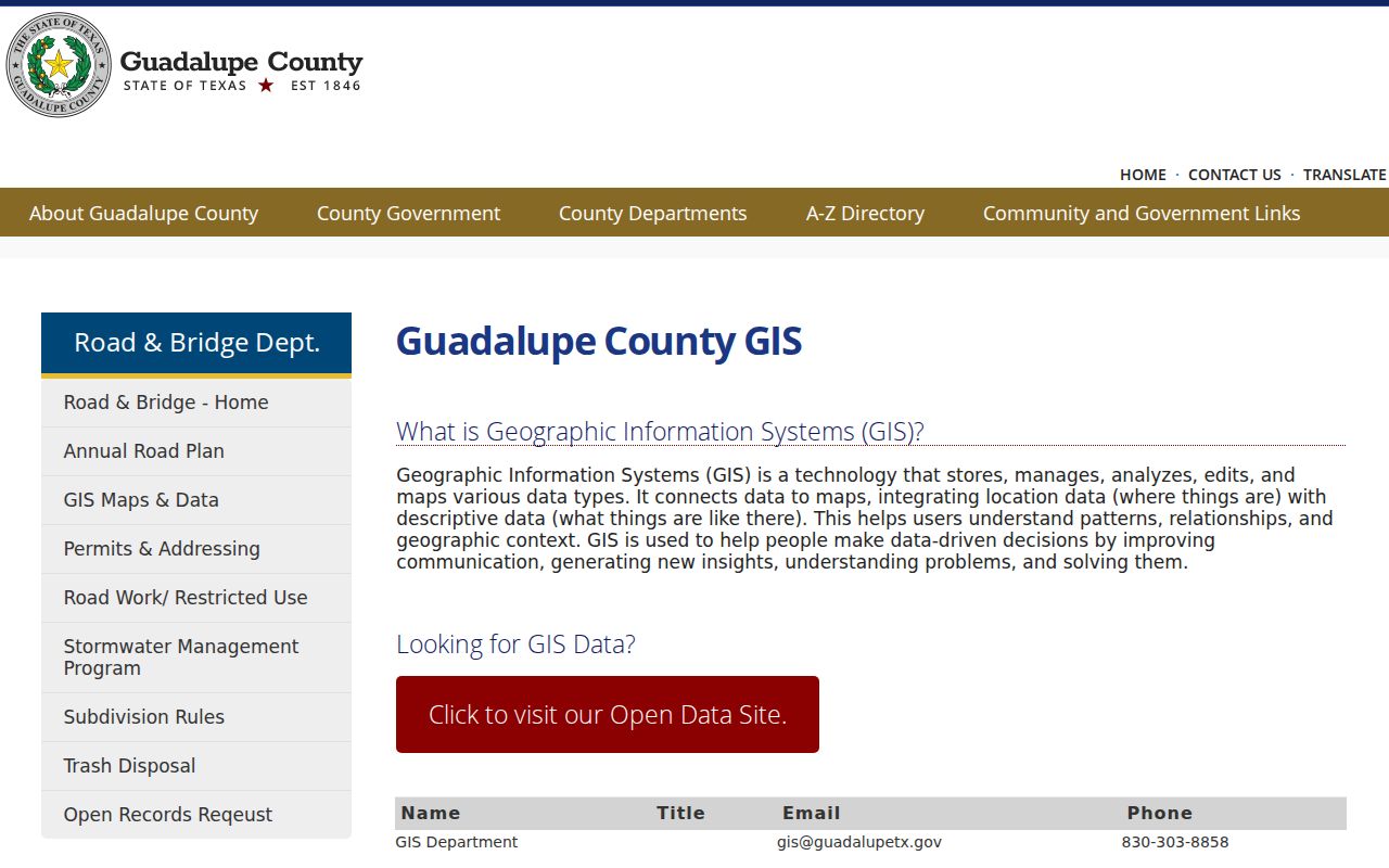
Move from map polygon to parcel detail, then to a recorded document only when the property ID and legal description align. This avoids mixing nearby parcels.
Note: GAD's map is an aerial image enhanced with parcel and deed information, not a boundary survey.
Guadalupe County Street Records, by Key
An address search becomes stronger when each source is used for the key it actually holds. The appraisal roll starts with an address, owner, or parcel. GIS supplies adjacency and location context. ROAM follows recorded parties and legal descriptions. Road & Bridge explains how an outside-municipality address or street name was assigned. Voter information has a different access path and should never be presented as a browsable street roster.
| Guadalupe County source | Primary key | What it can establish | Access route |
|---|---|---|---|
| GAD property search | Address, owner, property ID | Owner, situs, mailing address, values, exemptions | Free public portal; verify with GAD |
| GAD / county GIS | Polygon or geographic ID | Adjoining parcels, aerial, zoning, flood context | Map and GIS resources |
| County Clerk ROAM | Party, legal description, document | Deeds, liens, plats, foreclosure chain | Public index; copies through Clerk |
| Pre-1970 index | Name or historic reference | Older instrument route | County Clerk official-record page |
| County voter lookup | First name, last name, DOB | Individual registration or precinct match | Exact lookup, office, or lawful file request |
| Road & Bridge | 911 address, street, subdivision | Address assignment and name-approval context | County forms and office |
| Municipal permits/code | Situs and date range | Public work, inspection, or case material | Correct city; no central index found |
| Library reverse directory | Historic address | Occupant snapshot for one edition | Catalog, Local History Room, microfilm |
For a voter question, the county registration lookup requires first name, last name, and date of birth in the stated format. It does not browse a road, and protected addresses can be withheld. A voter-file request follows a different county or state procedure and carries statutory redactions.
Follow a Guadalupe County Road Through ROAM
ROAM is the County Clerk's index for deeds, mortgages, liens, foreclosures, plats, assumed names, cattle brands, and tax liens. It is a document trail, not a title opinion. Start with the current GAD owner, then search that owner and the legal description in ROAM. Save grantor and grantee names, document or book-and-page reference, and recording date. Search the prior owner as grantee to find an earlier acquisition. If land has been merged, subdivided, or corrected, follow the related plat, correction deed, easement, or subdivision instrument.
The ROAM public-record search is the online index for that work.
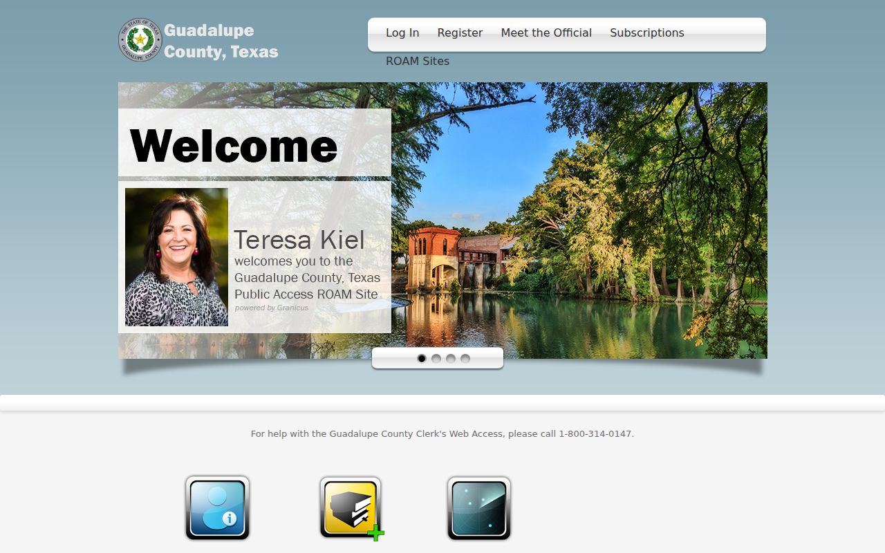
The County Clerk does not conduct title searches, determine ownership, verify title, or give legal opinions. ROAM carries a redaction notice and is not the official repository. When exact language matters, request an official or certified copy from the Clerk instead of treating an index result as the complete record.
Note: A street address finds a parcel, but the legal description is the stronger continuity key through a replat or address change.
Use Guadalupe County's Pre-1970 Route
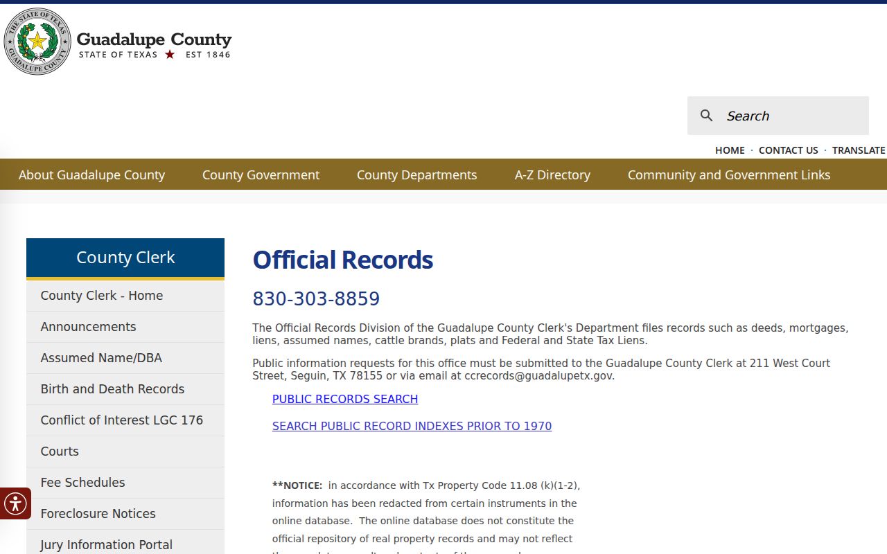
Older property work has a local fork: the County Clerk's official-record page links a separate search for public-record indexes prior to 1970. The ordinary online page does not establish one continuous earliest coverage year. Preserve each book, page, document number, party name, and legal-description detail found in the newer index before changing search paths. If the trail stops, the County Clerk's counter, copy-request route, and historical microfilm research are documented fallbacks.
The County Clerk official-record page links both ROAM and the dedicated pre-1970 index route.
Older address evidence often needs a bridge from legal descriptions, plats, tax rolls, newspapers, or a directory volume. Seguin's Local History Room has microfilm, Federal Census material, Sanborn reels, newspapers, and genealogy resources. For historical holdings and entry reading, see the Guadalupe County city directories.
Guadalupe County's 911 Addressing Desk
Road & Bridge issues addresses outside municipalities, maintains county roads, and reviews subdivisions. Its 911 Location Address request is the operational route for an unincorporated property. That split matters because permits and code files inside city limits belong to the proper municipality. An address request should state the correct city, parcel or geographic ID, date range, and specific record category. No single countywide permit or code-case index was located.
The Road & Bridge permits and addressing page also leads to the Street Name Approval form. It requires a proposed name plus two alternatives, subdivision information, maps, developer and surveyor contacts, road-maintenance choice, ZIP, and Mapsco page. County, Bexar Metro 911, and USPS are review checkpoints. The form says to allow 30 to 50 days and says unused approved names are purged after three years.
Match Guadalupe County Streets to Jurisdiction
Postal city, county, school district, emergency-service area, and municipal limit can diverge. Guadalupe County includes Seguin, Schertz, Cibolo, Marion, New Braunfels, Santa Clara, and unincorporated communities. A parcel can show several taxing units, and a mailing city does not decide which office keeps a permit or code file. Check situs and city-limit material before sending a request. This matters at county and city edges, where a street directory result may use a familiar postal label but the record custodian is elsewhere.
ZIP is a delivery key, not a parcel boundary. For example, 78155 is standard Seguin delivery while 78156 is a Seguin post-office-box geography. Retain the ZIP printed in old records, but use legal descriptions and property identifiers to connect a historic address with a current parcel.
Trace Historic Guadalupe County Street Clues
A reverse directory can place a historic occupant at an address, but only when that edition has a reverse section. Guadalupe and Seguin research has known directory references for 1938, Polk's 1963, and Seguin volumes from 1976, 1978, and 1980. Regional New Braunfels material spans earlier and later years. Inspect each volume's key before assuming it is arranged by address. Pair the result with deeds, tax rolls, newspapers, and census material, especially because most federal 1890 schedules were destroyed.
Guadalupe County was established in 1842, and local library guidance points to microfilmed county records of genealogical value from 1846 to 1877. These sources can bridge a rural route, changed subdivision, or absent current street-directory result. They do not prove that every historic volume is online or complete.
Insider Tip for Guadalupe County Exports
GAD offers CSV download and email controls for property-search results. For a long street, keep the export with the search date and tax year, then group it by number, subdivision, property ID, geographic ID, and mailing city. Open parcels needing document confirmation rather than guessing from a similar owner name or nearby number. The portal warns that current-year data can show N/A before certification, so retain the year shown on each card.
A common mistake is treating an export as a certified appraisal roll or current resident directory. It is neither. It reflects a search result and can change with corrections, certification, or property updates. Use it to organize a street-by-street review, then confirm a key fact with GAD or the County Clerk.
Limits of a Guadalupe County Street Directory
Address-keyed records do not reveal a complete household. Current renters, guests, unregistered occupants, and many household members may not appear in GAD, a deed, or a voter record. A public deed names transaction parties, not everyone in a home. A voter record can be protected and the county web tool is designed for an exact individual match. Driver-record addresses are restricted under the federal Driver's Privacy Protection Act, and utility, delivery, and customer lists are not public resident rolls.
Some records are intentionally incomplete online. The County Clerk says certain recorded information is redacted, and its online database may not reflect the complete unaltered official record. Texas Address Confidentiality Program participants and protected voters can have addresses suppressed. A missing result can be a privacy protection, a changed address, a different spelling, or a source that does not index that person.
Lawful use. Guadalupe County street and address records are for personal, lawful research. Do not use a name, address, or record trail to stalk, harass, intimidate, or harm anyone.