
Guadalupe County ZIP Code Directory Coverage
Fifteen postal areas are wholly or partly associated with Guadalupe County in the county map research. Several serve places beyond the county line, and a few are PO Box or limited postal geographies. The post office name is a mail convention. It does not decide the parcel’s city, county, school district, emergency-service area, or record custodian. For a specific address, the USPS result remains the final delivery check.
| ZIP | Area or post office associated in sources | Post office label | Directory note |
|---|---|---|---|
| 78108 | Cibolo and surrounding metro area | Cibolo | Standard ZIP; boundaries can shift with metro growth. |
| 78115 | Geronimo and Seguin service grouping | Geronimo | PO Box or limited geography; verify delivery. |
| 78121 | La Vernia service area | La Vernia | Partly serves eastern or southern county area. |
| 78123 | McQueeney and lake community area | McQueeney | County and city boundaries need an address check. |
| 78124 | Marion, Santa Clara, and New Berlin context | Marion | Standard ZIP. |
| 78130 | New Braunfels regional area | New Braunfels | County and city lines diverge nearby. |
| 78140 | Nixon regional service area | Nixon | Extends across a county boundary. |
| 78154 | Schertz metro geography | Schertz | Schertz spans more than one county. |
| 78155 | Principal Seguin delivery area | Seguin | Standard county-seat delivery ZIP. |
| 78156 | Seguin | Seguin | PO Box ZIP, not normal street delivery. |
| 78638 | Kingsbury and eastern county edge | Kingsbury | Standard rural postal area. |
| 78648 | Luling regional area | Luling | County and municipal lines can differ. |
| 78655 | Martindale regional area | Martindale | Partly in the Hays and Guadalupe region. |
| 78666 | San Marcos regional area | San Marcos | County, municipal, and college-area boundaries differ. |
| 78670 | Staples | Staples | PO Box or limited postal geography; verify address. |
The grouped delivery references place 78123 and 78124 with Marion, 78130 and 78131 with New Braunfels, and 78155 and 78156 with Seguin. Use each ZIP code as a location clue, not a parcel boundary. The county map and delivery scheme complement one another, but neither replaces address-specific USPS validation.
Guadalupe County ZIP USPS Check
Use the USPS lookup before relying on a postal code in Guadalupe County research. Submit the full street address and let the service return its standardized delivery form. USPS also offers city, state, and ZIP searching in its current interface. That output can settle whether a street-delivery address belongs with a Seguin, Cibolo, Marion, Schertz, New Braunfels, or rural postal label, even when the parcel lies in a different civic jurisdiction.
The USPS ZIP Lookup is the source for an individual Guadalupe County address.
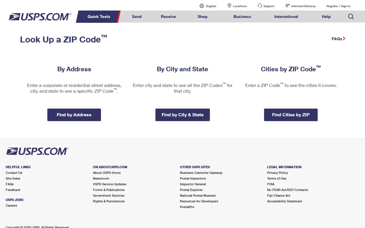
The resulting postal code is a mail-routing detail. Keep the returned street spelling and ZIP with the parcel or records notes, then compare it with the situs address and legal description from the property record.
Note: A postal city name can be useful for mail, but it does not replace the county or municipality that holds the record.
Guadalupe County ZIP Seguin Distinction
The clearest local postal contrast is 78155 and 78156. Sources identify 78155 as standard Seguin delivery and 78156 as Seguin PO Box. A PO Box ZIP can point to a mailing arrangement, not a physical block or parcel. The county map also identifies 78115 and 78670 as PO-box or limited geographies. Do not draw a property boundary from any of those labels.
INSIDER TIP: When a mailing address contains a PO Box ZIP, locate the parcel through its physical situs address or legal description before searching county records. The appraisal card can display a different owner mailing address, and that difference is normal. It should be recorded as a separate field rather than used as a substitute for the parcel location.
Guadalupe County ZIP Postal Edges
Cibolo, Schertz, Marion, New Braunfels, San Marcos, Luling, and smaller communities make the Guadalupe County ZIP code directory more complicated than a city list. Schertz spans more than one county. New Braunfels and San Marcos mailing labels can appear in or near Guadalupe County even though their city identities point elsewhere. Kingsbury, McQueeney, Geronimo, and Staples are rural postal identities, not a guarantee of incorporation.
Guadalupe County has grown quickly, and a person may use one city name for mail, appear in county records under a rural legal description, and have permits handled by a different municipality. Confirm the parcel’s situs address and city-limits context before sending an address-based request to a city department. The county’s property and tax work reaches many jurisdictions, not one single city system.
Guadalupe County ZIP Search Workflow
A postal code narrows geography. It does not create a resident list. Use it to organize a lawful search around an address, a property group, or a community record. The following sequence keeps the postal key tied to sources that can actually answer a local question.
- Verify the delivery ZIP and standardized street format with USPS.
- Search the Guadalupe Appraisal District by address, street, subdivision, property ID, or geographic ID, then save the situs and mailing fields separately.
- Group property results by the city or ZIP displayed in the result only as a derived sort, because the captured GAD form did not show a direct ZIP field.
- Use the county GIS and the correct municipality to confirm the parcel context, then move to the Guadalupe County by-street directory for a full address record trail.
County voter lookup is not a ZIP browse tool. It needs a first name, last name, and date of birth. A request for a voter-file extract has separate statutory rules, redactions, and possible data-manipulation charges. It is not the same as entering a ZIP code into a public web form.
Guadalupe County ZIP Portal Fields
The Texas HOA management-certificate search is the strongest documented Guadalupe County source with ZIP filtering. It returns association certificates and management contact information, not a membership list. The property search has useful address and subdivision fields, yet the captured form does not visibly list a ZIP filter. Its result city or ZIP can be grouped after searching, but that is a derived method rather than a direct portal feature.
| Search field | What the documented source supports |
|---|---|
| County | Filter HOA management-certificate records to Guadalupe County. |
| City | Limit association certificate results by the displayed community city. |
| ZIP | Limit association certificate results to a postal area. |
| Street, subdivision, or property ID | Use GAD fields to reach a parcel, then group result location data carefully. |
The HOA route can identify an association contact or recorded community context. It cannot show which people live in a postal area. For an official parcel question, return to the appraisal district and County Clerk record systems.
Guadalupe County ZIP Addressing
Outside municipal limits, County Road & Bridge issues addresses, maintains county roads, inspects new subdivisions, and handles the 911 Location Address route. Its street-name approval process requires proposed names and alternates, subdivision and location maps, developer or surveyor contacts, ZIP information, and road-maintenance details. County, Bexar Metro 911, and USPS are review checkpoints. The process can take 30 to 50 days, and unused approved names are purged after three years.
The County Road & Bridge addressing page shows the local request and street-name form path.
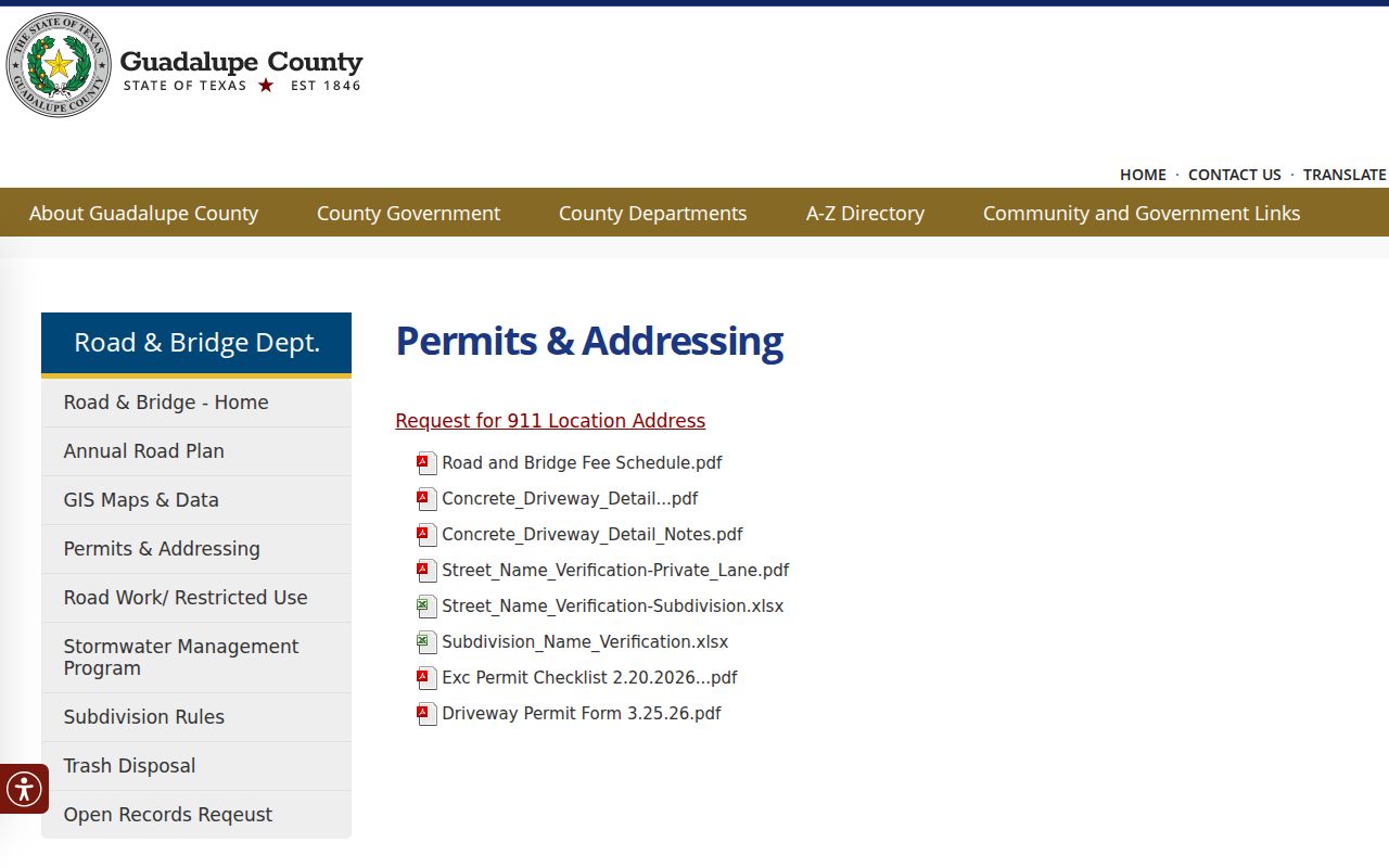
That review explains why an old rural description, a newly approved street name, and a current postal code may not line up neatly. For records work, retain the original address as printed and add the current standardized address as a separate research note.
Guadalupe County ZIP Boundaries
ZIP boundaries and city limits are separate systems. Census ZIP Code Tabulation Areas, or ZCTAs, are statistical approximations based on census blocks. They can be noncontiguous, PO-box-only, unique to one institution, or extend beyond a city or county boundary. A FEMA community repository list also follows participating communities rather than one postal map. The safest record key is the parcel’s situs, legal description, and the agency named for that jurisdiction.
- ZIP versus ZIP+4
- A ZIP is the basic delivery area; ZIP+4 adds a smaller delivery segment for sorting mail.
- PO Box ZIP
- A ZIP assigned to post-office boxes, which does not define normal street-delivery territory.
- Unique ZIP
- A ZIP associated with one institution or special delivery arrangement, rather than a broad neighborhood.
- Carrier route
- A mail-delivery grouping within a ZIP, not a civic boundary or parcel map.
No official Guadalupe County ZIP split or realignment year was identified in the research. Preserve the historic ZIP as written on an older document, and validate a later address with USPS instead of assuming a postal boundary has stayed fixed.
Boundary reminder. A Guadalupe County postal code helps sort mail and nearby records, but it does not establish a city limit, county line, residency, or parcel ownership.
Guadalupe County ZIP Map Geography
When an address needs more context, county GIS and map repositories can identify city limits, parcel shape, flood context, and community responsibility. Guadalupe County Road & Bridge and the GIS resources are useful for the physical record trail, while USPS resolves delivery. Combining both avoids a common error: sending a record request to the post-office city when the parcel lies in another jurisdiction.
For a street-level question, use the official address and property identifiers first. A ZIP code directory is strongest as the geography layer that helps make those searches precise.
Note: Postal and census geography are reference tools, so confirm an address with the custodian before relying on a location conclusion.